

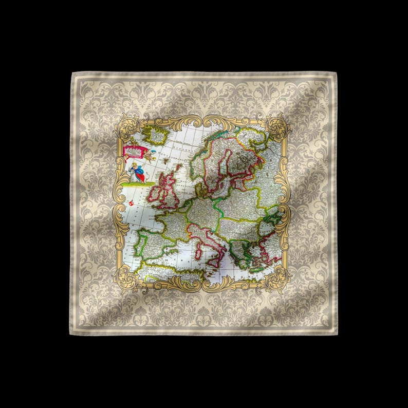
Accuratissima Europae Tabula — J. Danckerts

Silk Pocket Square

Accuratissima Europae Tabula — J. Danckerts

£75

The historic map Accuratissima Europae Tabula by J. Danckerts, originally published in Amsterdam between 1696 and 1713. The design is based on a finely detailed copper engraving of Europe, originally printed on paper and later hand coloured. A celebrated example of late seventeenth century Dutch cartography, valued for its accuracy, decorative colouring, and clarity of geographic detail.

31 × 31 cm. Hand-rolled, hand-sewn hems. Made to order — usually dispatches within a week. Real silk: 100% silk satin, finished with polyester thread. Faux silk: 100% recycled polyester satin.

Care: handle gently, avoid rubbing or soaking; consult a specialist cleaner if needed.

Delivery and returns · Prices include UK VAT where applicable.

Your bag

Subtotal£0

Complimentary UK tracked delivery. International delivery £4 per order; complimentary on orders of £100 or more. Import charges may apply.

Delivery and returns · Privacy · Business details